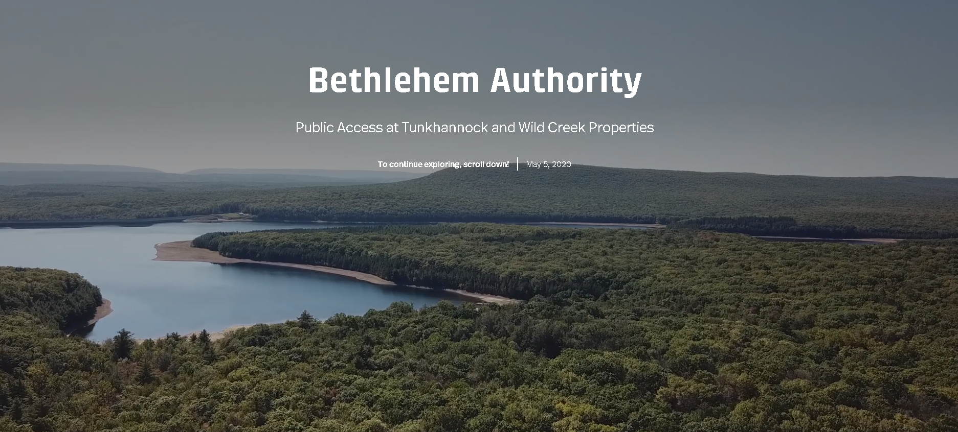
Making Public Access Easier to Explore
The Bethlehem Authority manages expansive natural areas that are open to the public, offering opportunities for hiking, fishing, hunting, and wildlife observation. The challenge was not access itself, but how to clearly communicate where people could go, what they could do, and how to use these spaces responsibly.
Our team worked with the Authority to transform a static webpage into an interactive experience using Esri’s StoryMaps platform. The goal was to create something more intuitive and engaging, a tool that helps people better understand and connect with the land they are visiting.
Turning Information into an Interactive Experience
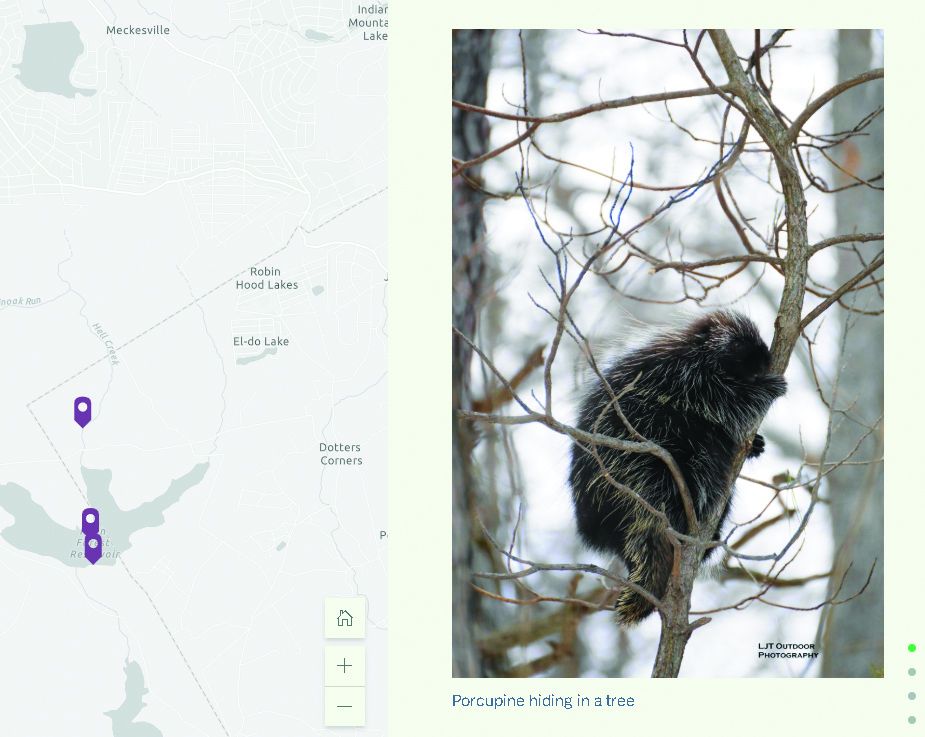
Working closely with the Authority, we developed a concept that brings together mapping, imagery, and storytelling into a single, easy-to-use format. The story map features an interactive web map that allows users to explore the Authority’s properties, learn about available activities, and navigate the sites with greater confidence.
Photos and content provided by the Authority highlight the character of the landscape, from its natural features to the wildlife that inhabits it. The platform also gives users a clear way to report potential security concerns, supporting both public enjoyment and responsible stewardship.
Accessible from any device at any time, the story map provides a more dynamic way for the public to engage with these properties, making information easier to find and use while encouraging thoughtful interaction with the environment.
View the Public Access story map here: https://storymaps.arcgis.com/stories/d3e2a73f7c114c819269ed7c8d566092